-
- Promo : - 5% Add to basket
- - Cards, PROMO
Carte en relief LES ALPES FRANCAISES et ses massifs :: 3D MAP
- 37,00 €
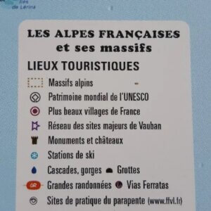
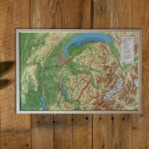
- Magnifique carte en relief des Alpes Françaises et ses massifs alpins. Pratique, cette carte en 3D vous indique les chemins de randonnées, points de vue, refuges, mais aussi les déco et atterrissages en parapente ! Fabrication 100% Française ECHELLE 1 : 660 000 • 41 cm x 61 cm
-
- Promo : - 5% Add to basket
- - Cards, PROMO
Carte en relief MONT BLANC & sa REGION :: 3D MAP
- 37,00 €
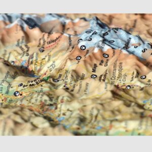
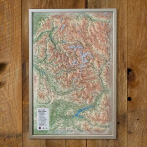
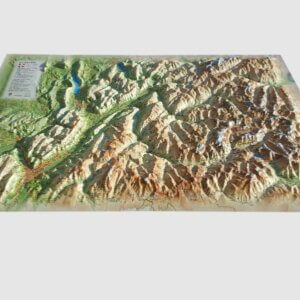
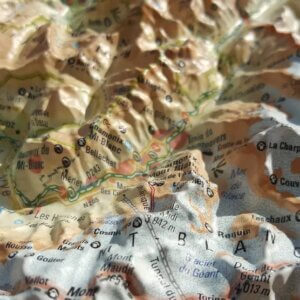
- Magnifique carte en relief du massif du Mont Blanc et sa région. Pratique, cette carte en 3D vous indique les chemins de randonnées, points de vue, refuges, mais aussi les déco et atterrissages en parapente ! Fabrication 100% Française • 41 cm x 61 cm
-
- Promo : - 5% Add to basket
- - Cards, PROMO
Carte en relief QUEYRAS UBAYE :: 3D MAP
- 37,00 €
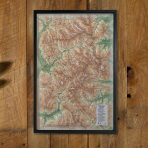
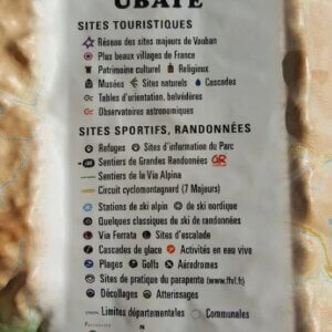
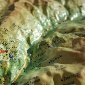
- Magnifique carte en relief du Queyras et de l'Ubaye. Pratique, cette carte en 3D vous indique les chemins de randonnées, points de vue, refuges, mais aussi les déco et atterrissages en parapente ! Fabrication 100% Française ECHELLE : 1 : 120 000 • 41 cm x 61 cm
-
- Promo : - 5% Add to basket
- - Cards, PROMO
Carte en relief LA VANOISE :: 3D MAP
- 37,00 €
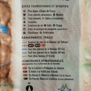
- Magnifique carte en relief de la Vanoise.. découvrez toutes les richesses de la Savoie... Pratique, cette carte en 3D vous indique les chemins de randonnées, points de vue, refuges, mais aussi les déco et atterrissages en parapente ! Fabrication 100% Française ECHELLE: 1 : 150 000 • 41 cm x 61 cm
-
- Promo : - 5% Add to basket
- - Cards, PROMO
Carte en relief LA REUNION :: 3D MAP
- 37,00 €
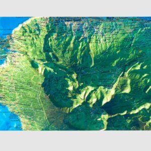
- Magnifique carte en relief de la réunion.. pour faire revenir le soleil ! Pratique, cette carte en 3D vous indique les chemins de randonnées, points de vue, refuges, mais aussi les déco et atterrissages en parapente ! Fabrication 100% Française ECHELLE/DIMENSIONS : • Echelle planimétrique : 1 : 170 000 • Echelle altimétrique: 1 : 100 000 • 41 cm…
-
- Promo : - 5% Add to basket
- - Cards, PROMO
Carte en relief BAUGES BELLEDONNE CHARTREUSE :: 3D MAP
- 37,00 €
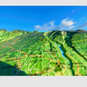
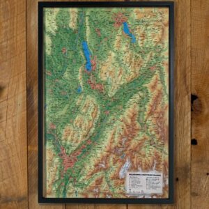
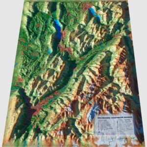
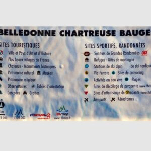
- Magnifique carte en relief du massif des massifs des Bauges, Belledonne et de la Chartreuse.. Pratique, cette carte en 3D vous indique les chemins de randonnées, points de vue, refuges, mais aussi les déco et atterrissages en parapente ! Fabrication 100% Française ECHELLE/DIMENSIONS : • Echelle planimétrique : 1 : 185 000 • Echelle altimétrique: 1 : 120 000 •…
-
- Promo : - 5% Add to basket
- - Cards, PROMO
Carte en relief MASSIF DU MONT BLANC :: 3D MAP
- 37,00 €
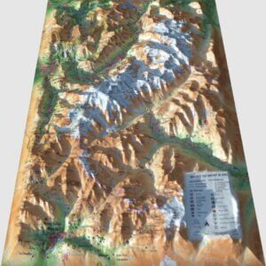
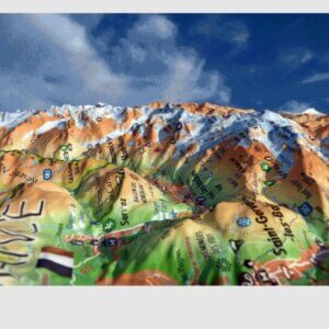
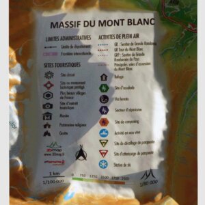
- Magnifique carte en relief du massif du Mont Blanc. Pratique, cette carte en 3D vous indique les chemins de randonnées, points de vue, refuges, mais aussi les déco et atterrissages en parapente ! Dimensions : 410×610 mm Fabrication 100% Française · Echelle planimétrique : 1 : 200 000 · Echelle altimétrique: 1 : 160 000
-
- Promo : - 5% Add to basket
- - Cards, PROMO
Carte en relief MASSIF DES ECRINS :: 3D MAP
- 37,00 €
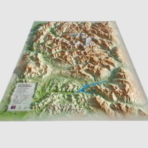
- Magnifique carte en relief du massif des Ecrins Pratique, cette carte en 3D vous indique les chemins de randonnées, points de vue, refuges, mais aussi les déco et atterrissages en parapente ! Dimensions : 410×610 mm Fabrication 100% Française Echelle : 1 : 175 000
-
- Add to basket
- - Cards
Relief map SAVOIE :: 3D MAP
- 39,00 €
- Magnificent relief map of Savoie, including Tarentaise, Lac du Bourget, Lac d'Annecy, Beaufortain, Bauges... This practical 3D map shows hiking trails, viewpoints and refuges, as well as take-off points and paragliding landings! Dimensions: 410×610 mm Manufactured in France 100% Scale: 1:180,000
-
- Add to basket
- - Cards
Relief map HAUTE SAVOIE :: 3D MAP
- 39,00 €
- Magnificent relief map of Haute Savoie, including Annecy, Mont Blanc and Lake Geneva. This practical 3D map shows hiking trails, viewpoints and refuges, as well as take-off points and paragliding landings! Dimensions: 410×610 mm Manufactured in France 100% Scale: 1:230,000


